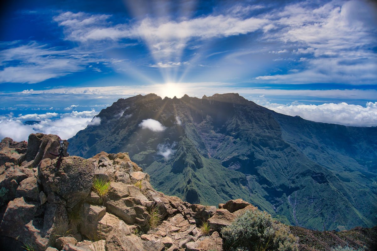
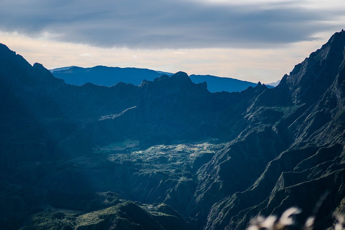
The Grand Bénare is one of La Réunion’s highest peaks, standing at 2,898 meters above sea level. It offers breathtaking views of the Mafate and Cilaos cirques, as well as Piton des Neiges. This is a hike reserved for experienced hikers, requiring approximately 7 hours of round-trip walking to cover the 18 km route.
My video of this Grand Bénare hike:
In this video, I’m taking you along for an unforgettable hike to the summit of Grand Bénare. This iconic mountain on Réunion Island offers spectacular views of the surrounding landscapes, including Piton des Neiges and the Mafate cirque. You’ll see the winding trails we crossed, the magnificent waterfalls, and the wooden bridges that marked our path. You’ll also admire the impressive rock formations that have been shaped by erosion over time. If you’re passionate about hiking and discovering new landscapes, this video is for you.
Difficulty of the Grand Bénare Hike
The Grand Bénare hike is classified as very difficult by several specialized sites. It presents several challenges:
The trail is very rocky and dusty, which can be tough on your feet and joints.
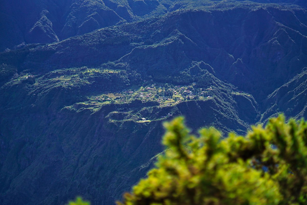
The trail runs along the Mafate cliff edge, with sections along precipices that can be intimidating for people prone to vertigo.
The trail involves constant ascents and descents, with a cumulative elevation gain of over 700 meters.
The trail crosses areas without shade or vegetation, where you need to protect yourself from the sun and hydrate regularly.
The trail can be obscured by clouds or fog, which reduces visibility and makes trail markers essential.
You need to be well-equipped and prepared to complete this hike. It’s recommended to start early in the morning to avoid the heat and enjoy the panorama.
Duration of the Grand Bénare Hike
The estimated duration of the Grand Bénare hike is a maximum of 7 hours round-trip, but it can vary depending on each hiker’s pace and breaks.
Here’s a sample itinerary with indicative times:
Departure from Maïdo parking: 0:00
Start of Grand Bord trail: 0:10
Viewpoint over La Nouvelle: 1:30
Viewpoint over Marla: 2:00
Summit of Grand Bénare (2,898 m): 3:15
Return to viewpoint over Marla: 4:30
Return to viewpoint over La Nouvelle: 5:00
Return to start of Grand Bord trail: 6:20
Return to Maïdo parking: 6:30
Stay Hydrated with the OKO Bottle During Your Grand Bénare Adventure
When you embark on a demanding hike like Grand Bénare, it’s essential to stay well-hydrated throughout the journey. The OKO Bottle is the perfect accessory to accompany you on this adventure. Equipped with cutting-edge filtration technology, it ensures that the water you drink is free from all impurities, allowing you to quench your thirst with confidence.
The OKO Bottle is designed to meet the needs of experienced hikers. Its sleek design and unmatched performance make it an ideal choice for those looking to combine style and functionality. Plus, by using the OKO Bottle promo code OKOGUILLAUME when you purchase, you can save 10% on this essential travel companion.
Keep your OKO Bottle within reach during your Grand Bénare hike, and make sure to stay hydrated throughout this memorable adventure. A sip of pure water, a breathtaking landscape, and substantial savings thanks to the OKO Bottle promo code OKOGUILLAUME: that’s how to fully enjoy this unique experience.
Starting Point for the Grand Bénare Hike (Le Maïdo)
Here’s the Google Map to easily find the starting point for the Grand Bénare hike (Le Maïdo)
The starting point for the Grand Bénare hike is the Maïdo parking area, located at approximately 2,200 meters above sea level in the highlands of Saint-Paul. You can reach it by car via the Tévelave forest road or the Saint-Gilles-Les-Hauts road. The parking area has a picnic area, a drinking water point, and a tourist information point.
The Grand Bénare hike starts from the Maïdo parking area, located at approximately 2,200 meters above sea level in the highlands of Saint-Paul. You can reach it by car via the Tévelave forest road or the Saint-Gilles-Les-Hauts road. The parking area has a picnic area, a drinking water point, and a tourist information point.
From the parking area, you need to take a paved path that descends for about ten minutes until you find the sign indicating the Grand Bord trail. That’s where the hike truly begins.
Here are some tips for proper gear for the Grand Bénare hike:
Wear good hiking shoes, suitable for rocky and dusty terrain. You can also use trekking poles to relieve your joints and help with balance.
Bring plenty of water, at least 2 liters per person, as there are no water points along the route and it can get very hot.
Pack energy bars or dried fruit to refuel during the hike and avoid fatigue.
Protect yourself from the sun with sunglasses, a hat, and sunscreen. The trail crosses areas without shade or vegetation where the rays are more intense.
Bring a fleece and a waterproof windbreaker, as the summit can be cold and windy. The temperature can even drop below freezing in winter.
Here’s some useful information for doing the Grand Bénare hike:
The hike is classified as very difficult by several specialized sites. It has a cumulative elevation gain of over 700 meters and a round-trip distance of 18 km.
The hike takes approximately 7 hours maximum excluding stops. It’s recommended to start early in the morning to avoid the heat and enjoy the panorama. You can also spend a night in a lodge or bivouac near Maïdo to watch the sunrise from the summit.
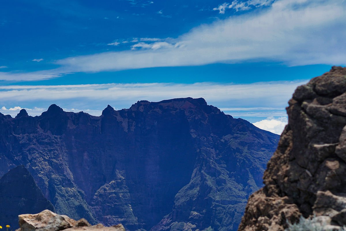
The hike offers exceptional viewpoints over the Mafate and Cilaos cirques, as well as Piton des Neiges. You can also visit the Caverne de la Glacière or the various wells encountered along the way.
The hike requires proper equipment: good shoes, trekking poles, water, energy bars, sunglasses, hat, sunscreen, fleece, and waterproof windbreaker.
The hike starts from the Maïdo parking area, located at approximately 2,200 meters above sea level in the highlands of Saint-Paul. You can reach it by car via the Tévelave forest road or the Saint-Gilles-Les-Hauts road.
I hope these tips will be helpful. Happy hiking! 😊
FAQ on Hiking Grand Bénare: The Most Beautiful Hike in La Réunion
What is Grand Bénare? Grand Bénare is the third-highest peak in La Réunion, with an altitude of 2,898 meters. It’s a popular hiking destination, offering spectacular views of the island.
Where is the starting point for the Grand Bénare hike? The starting point for the hike is generally located at Maïdo, another spectacular peak nearby.
How long does the hike take? The Grand Bénare hike can take between 7 and 9 hours, depending on your fitness level and how often you stop.
How difficult is the Grand Bénare hike? The hike is considered difficult. Hikers are recommended to have good physical fitness and some experience with mountain hiking.
What equipment should I bring for the hike? It’s recommended to bring plenty of water, energy snacks, a hiking map, a hat and gloves (it can be cold at altitude), a headlamp (in case the hike takes longer than expected), sun protection, and rain gear.
What are the best times to do this hike? The best time to hike Grand Bénare is generally in the morning, when the weather is clearer and cooler. The months from May to November typically offer drier hiking conditions.
Are there dangerous animals or toxic plants on the hiking trail? There are no known dangerous animals on the hiking trail. However, it’s always important to respect local wildlife and stay on the trail. Some plants can be toxic if ingested, so it’s advised not to touch or eat unknown plants.
Do I need to book or obtain a permit to do the hike? As of 2023, it’s not necessary to book or obtain a permit to hike Grand Bénare. However, regulations can change, so it’s always best to check the latest information.
Are there restroom facilities or food services on the trail? No, there are no restroom facilities or food services on the trail. It’s therefore recommended to bring everything you’ll need for the day.
Is it possible to camp on the trail? Camping on the trail is not recommended for safety and environmental protection reasons. It’s better to plan the hike so you can complete it in one day.
Is the trail well-marked? Yes, the trail is well-marked, but it’s always recommended to have a hiking map or a reliable hiking app.
What should I do in case of an emergency during the hike? In case of an emergency, it’s recommended to contact the nearest rescue service. Always keep a list of local emergency numbers with you.
Book an activity in Réunion
Compare the best tours, boat trips, guided hikes, and activities in Réunion before booking.
This post is also available in:
 Français (French)