The Route des Laves in Reunion is one of the island’s most striking journeys. Between Sainte-Rose and Saint-Philippe, the road crosses an area where ancient lava flows have reshaped the landscape, with a very dark, mineral terrain on one side and the ever-present Indian Ocean on the other. Even without a major hike, this section gives a real sense of volcanic power.
If you’re planning a day in the Wild South, this guide will help you understand where the Route des Laves passes, what stops to plan, how much time to allow, and how to integrate it into a realistic itinerary. To complete your program in the area, you can also keep our guides on Sainte-Rose, Anse des Cascades, and Cap Méchant handy.
- Where is the Route des Laves?
- Why is this route so popular?
- What itinerary should you follow between Sainte-Rose and Saint-Philippe?
- How much time to plan?
- Practical tips before you go
- Quick FAQ
Where is the Route des Laves?
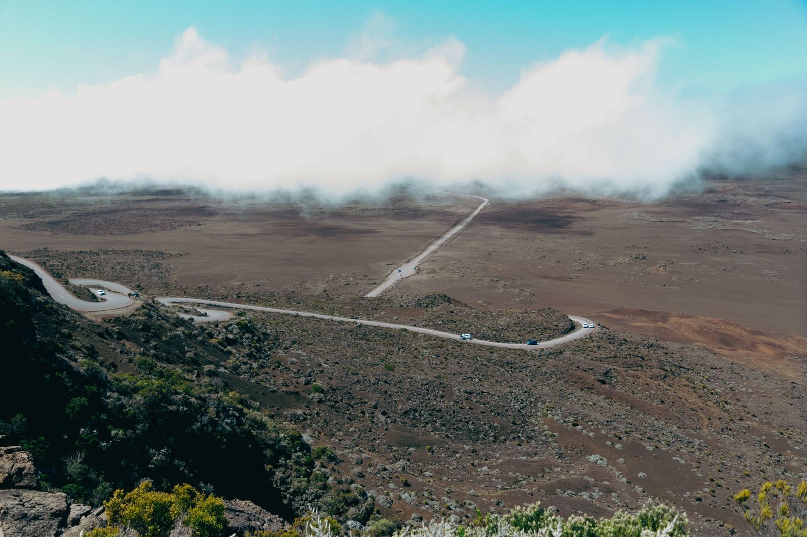
The Route des Laves generally refers to the section of the RN2 that connects Sainte-Rose to Saint-Philippe, crossing the Grand Brûlé area. This is where several flows from Piton de la Fournaise have reached the sea over the years, leaving a landscape more raw than in other parts of the island.
On the ground, don’t imagine a complicated activity or a strictly isolated road. It’s a very accessible car journey, which you discover mainly for its atmosphere: mineral zones, viewpoints, an impression of traversing a still very legible piece of volcanic history, and a constantly changing coastline.
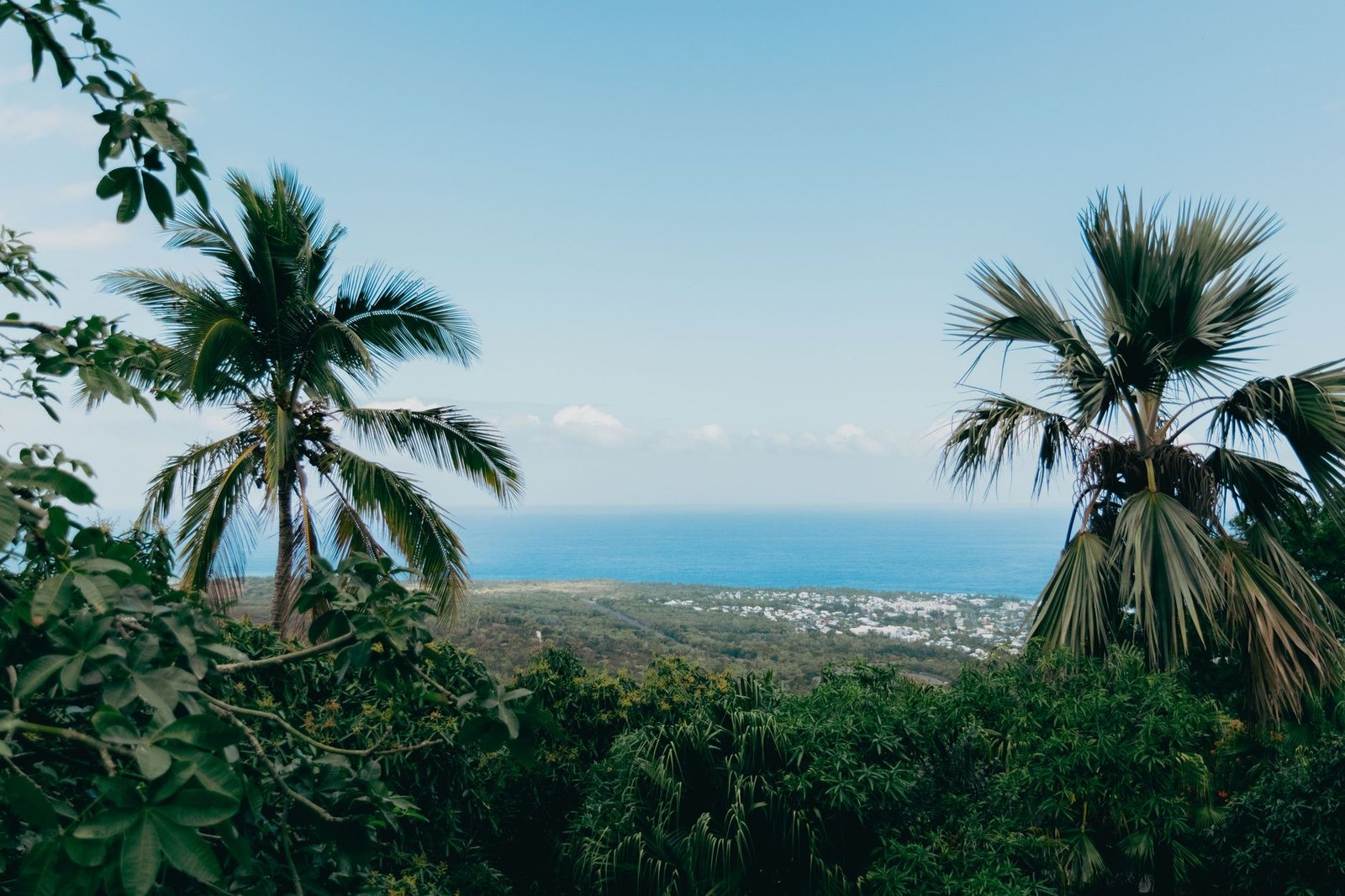
This crossing fits very well into a 7-day trip to Reunion or a 2-week road trip. It’s also a good complement if you’re looking for a day of contrasts between tropical vegetation, lava, and coastline.
Why is this route really worth it?
The Route des Laves is popular first and foremost because it shows a very unique side of Reunion. Here, the scenery is less about lush cirques or beaches and more about a territory shaped by eruptions. Even though it’s an easy road, the landscape immediately tells a more powerful story than just the journey itself.
It also appeals because it works very well as a short or medium sequence. You can simply drive through it without stopping for long, or conversely, take the time for a few breaks to better experience the atmosphere. It’s an easy outing to organize, but it adds a lot to a day’s program in the southeast.
Finally, the Route des Laves is truly interesting if you like coherent itineraries. Between Sainte-Rose, the surroundings of Anse des Cascades, the coastline of Cap Méchant, and the other stops in the Wild South, it serves as a natural thread for a very successful day.
What itinerary should you follow between Sainte-Rose and Saint-Philippe?
The simplest way is to travel the road from north to south, starting from Sainte-Rose and then heading to Saint-Philippe. This allows for a real progression to the day, with an increase in intensity on the most volcanic part, followed by a natural transition to the other stops along the southeastern coast.
- Start with Sainte-Rose. This is a great gateway for this day. The stop around Notre-Dame-des-Laves helps set the scene before you hit the road.
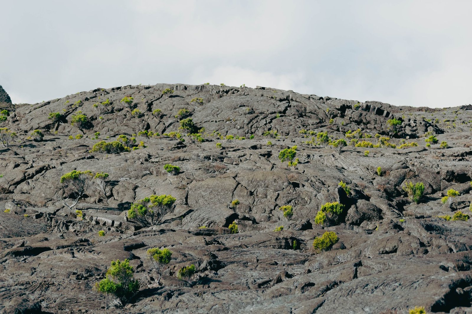
- Cross the Grand Brûlé area without rushing. This is the heart of the Route des Laves. The point is not to drive fast, but to observe how the road fits into the landscape and how vegetation gradually returns amidst the ancient lava flows.
- Add a stop at Anse des Cascades if you have time. The contrast between the lava and this more vegetated area works very well on the same day. Our guide on Anse des Cascades can help you gauge the break.
- Continue towards Saint-Philippe and the Wild South coastline. If you want to enrich your day, the logical next step is to extend to Cap Méchant or follow the framework of our one-day itinerary in the Wild South.
What works best is to see the Route des Laves as a sightseeing axis, not as a single specific point. It connects several atmospheres and sets the pace for the day. If you’re looking for a smooth program, this is often more relevant than multiplying distant detours.
For an even more comfortable day, allow some flexibility depending on the weather and light. Some visitors prefer to do this section early in the day to keep the rest of their schedule open; others prefer it in the middle of their itinerary, when the contrast with the island’s other landscapes becomes even sharper.
How much time should you allow to fully enjoy it?
If you simply want to drive the Route des Laves as part of an already busy schedule, you can allow 45 minutes to 1 hour, including travel and a few quick stops. This is enough to get a feel for the general atmosphere of the area.
For a more pleasant discovery, however, it’s better to plan for 1 hour 30 minutes to 2 hours. This allows time to drive leisurely, get out several times, take some photos, and then continue to another stop in the southeast without feeling rushed.
If your day is centered on the Wild South, the best option is often not to isolate the Route des Laves, but to combine it with Sainte-Rose, Anse des Cascades, or Cap Méchant. You then get a complete, coherent, and more memorable itinerary. To choose a more favorable weather period, you can also consult our guide on the best season to travel to Reunion.
Practical tips before you go
- See the Route des Laves as a scenic itinerary section, not as a full-fledged strenuous excursion.
- Avoid rushing through it: even if the road is simple, a few breaks really enhance the experience.
- Keep water, a little extra time, and sun protection, especially if you’re making several exposed stops in the southeast.
- If you enjoy photography, morning light or late afternoon often adds more depth to volcanic landscapes.
- To complete your day with an organized outing, excursion, or nature activity, also check out our guide for booking activities in Reunion.
Book an activity in Réunion
Compare the best tours, boat trips, guided hikes, and activities in Réunion before booking.
Quick FAQ on the Route des Laves
Is the Route des Laves worth the detour if you have little time on the island?
Yes, especially if you want to see a landscape very different from the lagoon or the cirques. It’s an easy visit to fit into a day, with a real visual impact.
Do you need to plan a hike to enjoy it?
No. The discovery is primarily by car, with a few short stops. This is precisely what makes this outing accessible to many travelers.
Can you do it on the same day as Sainte-Rose or Cap Méchant?
Yes, it’s even one of the best ways to approach it. The Route des Laves works very well as a natural link between several stages of the Wild South.
Is it a good idea in average weather?
Yes, as long as conditions remain suitable for safe driving. The landscape often retains a lot of character even with more overcast light.
If you like simple but striking itineraries, the Route des Laves in Reunion clearly deserves a place in your program. It’s not the longest outing on the island, but it’s one of those that best shows the very direct link between volcano, road, and ocean.
This post is also available in:
 Français (French)
Leave a Reply